Looking for a model of success: the regulations of the Commission for the Geological Map of Spain (1870, 1873)
DOI:
https://doi.org/10.21701/bolgeomin/135.3/001Keywords:
Geology, Mapping, History of institutions, 19th centuryAbstract
The Geological and Mining Institute of Spain (IGME) has a long history, dating back to its creation in the mid-19th century, and is one of the key institutions in our country for the development of knowledge related to Earth sciences and technologies. The absence of a historical archive at IGME makes it difficult to reconstruct its earlier history, so external sources must be consulted to learn about some of the milestones that contributed to the consolidation of the institution. This article provides new information about the individuals and circumstances that led to the re-establishment of the Commission for the Geological Map of Spain in 1870, the predecessor to IGME, following the upheavals since 1849, and the restructuring it underwent in 1873. The latter was led by mining engineer Manuel Fernández de Castro, who authored the text of the 1873 Decree and headed the Commission for twenty-two years. The precise instructions for the formation of the geological map contained in the Decree are among the highlights of his leadership, which ensured the completion of the 1:400,000 scale map in 1889 and the continuation of the institution in the face of potential threats of dissolution, as had occurred in previous stages.
Downloads
References
Anónimo (1870). División de la Península en tres grandes secciones y doce distritos para la organización del servicio de la Junta facultativa de Minería durante el año 1870. Revista Minera, 31, 137-138.
Aragonès, E. (2017). Un epistolario inédito de Lucas Mallada: las cartas a Luis Mariano Vidal y Carreras (1873-1902). Treballs del Museu de Geologia de Barcelona, 23, 27-102. https://doi.org/10.32800/tmgb.2017.23.0027
Boixereu, E. (2015). Evolución histórica de la cartografía geológica en España: desde sus orígenes hasta los mapas de Verneuil y Collomb (1864) y Maestre (1865). Tesis doctoral, Universidad Politécnica de Madrid. Disponible en:https://oa.upm.es/39701/1/ESTER_BOIXEREU_VILA.pdf
Botella, F. de (1875). La Ciudad Encantada. Hoces, salegas y torcas de la provincia de Cuenca. Anales de la Sociedad Española de Historia Natural, 4, 233-239.
Botella, F. de, Macpherson, J., & Vilanova, J. (1881). Rapport de la Section Espagnole de la Sous-Commission Lusitano-Hispanica pour le coloris des cartes géologiques. Imprimerie de Gregoire Juste.
Chastagnaret, G. (2020). Una vida por el Estado: Federico de Botella y de Hornos, ingeniero de minas (1823-1899). Cuadernos del Museo Geominero, 32. Instituto Geológico y Minero de España.
Congrès (1880). Congrès International de Gèologie tenu à Paris, du 20 au 31 Août et du 2 au 4 Septembre 1878. Comptes Rendus Sténographiques. Imprimerie Nationale.
Cortázar, D. de (1875). Descripción física, geológica y agrológica de la provincia de Cuenca. Memorias de la Comisión del Mapa Geológico de España, 3, 1-406.
Cortázar, D. de (1882a). Sur la nomenclature géologique. En: Congrès Géologique International. Compte Rendu de la 2me. Session, Bologne, 1881. Imprimerie Fava et Garagnani, 105-110.
Cortázar, D. de (1882b). Sur le coloriage et les notations des cartes géologiques. En: Congrès Géologique International. Compte Rendu de la 2me. Session, Bologne, 1881. Imprimerie Fava et Garagnani, 614-619.
Cortázar, D. de (1882c). Clasificación y colorido en los mapas geológicos. Boletín de la Comisión del Mapa Geológico de España, 9, 319-332.
Cortázar, D. de (1899). El Excmo. Sr. D. Federico de Botella y de Hornos. Revista Minera, Metalúrgica y de Ingeniería, 50, 581-583.
Curros Enríquez, M. (1914). Eduardo Chao. Estudio biográfico-político. Librería de Perlado, Páez y Compañía.
Decreto (1870). Se crea una Comisión de Ingenieros del cuerpo de Minas para la formación del Mapa Geológico de España, con la denominación de Comisión del Mapa geológico. Gaceta de Madrid, n.º 119, 29 de abril de 1870. Disponible en: https://www.boe.es/gazeta/dias/1870/04/29/pdfs/GMD-1870¸119.pdf
Decreto (1873). Organizando los estudios y trabajos para la formación del Mapa Geológico de España con arreglo a la instrucción adjunta. Gaceta de Madrid, n.º 88, 29 de marzo de 1873. Disponible en: https://www.boe.es/datos/pdfs/BOE//1873/088/A01011-01012.pdf
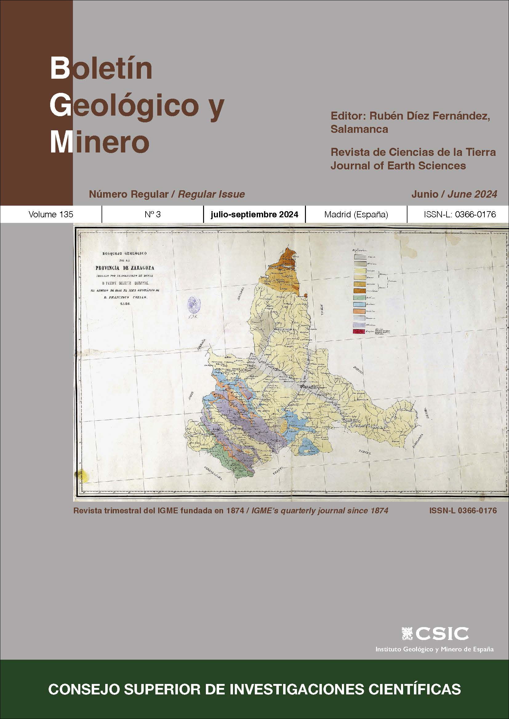
Donayre, F. M. (1873). Bosquejo de una descripción física y geológica de la provincia de Zaragoza. Memorias de la Comisión del Mapa Geológico de España, 1, 1-128.
Echegaray, J. (1917). Recuerdos. Volumen III. Ruiz Hermanos, Editores.
Fernández de Castro, M. (1883). Comisión del Mapa Geológico. Su origen, vicisitudes y circunstancias actuales. Boletín de la Comisión del Mapa Geológico de España, 10, 93-110.
Fernández de Castro, M. (1892). Prólogo. Boletín de la Comisión del Mapa Geológico de España, 18, xi-xiii.
Higueras Castañeda, E. (2016). Manuel Ruiz Zorrilla. Con los Borbones, jamás. Marcial Pons. https://doi.org/10.2307/j.ctt20fw6tz
Pelayo López, F. & Gozalo Gutiérrez, R. (2012). Juan Vilanova y Piera (1821-1893), la obra de un naturalista y prehistoriador valenciano. Serie de Trabajos Varios, 114. Servicio de Investigación Prehistórica del Museo de Prehistoria de Valencia, Diputación de Valencia.
Puche, O. & Boixereu, E. (2023). Formación científica y primeros trabajos de Felipe Bauzá Rávara (1802-1875). Llull, 46(93), 155-183. https://doi.org/10.47101/llull.2023.46.93.puche
Rábano, I. (2015). Los Cimientos de la Geología. La Comisión del Mapa Geológico de España (1849-1910). Instituto Geológico y Minero de España.
Rábano, I. (2020). Encuentros y desencuentros con la metrópoli: la Inspección General de Minas de las islas Filipinas y sus ingenieros. Illes i Imperis, 22, 107-124. https://doi.org/10.31009/illesimperis.2020.i22.06
Rábano, I. (2022). Manuel Fernández de Castro y Suero (1825-1895), director de la Comisión del Mapa Geológico de España. Boletín Geológico y Minero, 133(4), 7-35. https://doi.org/10.21701/bolgeomin/133.4/001
Rábano, I. & Aragón, S. (2007). Nuevos datos históricos sobre la Comisión del Mapa Geológico de España. Boletín Geológico y Minero, 118(4), 813-826.
Rábano, I. & Escuder-Viruete, J. (2022). La contribución de Manuel Fernández de Castro (1862) a la geología y minería de la República Dominicana. Revista de la Sociedad Geológica de España, 35(1), 36-55. https://doi.org/10.55407/rsge.94883
Rábano, I. & Salazar, Á. (2024). Instituto Geológico y Minero de España: una historia de 175 años. In I. Rábano and Á. Salazar (Eds.), Instituto Geológico y Minero de España: 175 años (pp. 39-111). Consejo Superior de Investigaciones Científicas.
Sánchez Picón, A. (2018). Expansión minera y reforma liberal. Peculiaridades de un cambio institucional en la España del siglo XIX. Áreas. Revista Internacional de Ciencias Sociales, 37, 145-157.
Schäfer‐Weiss, D. & Versemann, J. (2005). The influence of Goethe's Farbenlehre on early geological map colouring: Goethe's contribution to Christian Keferstein's General Charte von Teutschland (1821). Imago Mundi, 57(2), 164-184. https://doi.org/10.1080/03085690500094990
Vitar, B. (2012). Lorenzo Gómez Pardo y Ensenyat. Correspondencia epistolar de Felipe Bauzá, Policarpo Cía y Casiano de Prado (1836-1845). Padilla Libros.
Published
How to Cite
Issue
Section
License
Copyright (c) 2025 Consejo Superior de Investigaciones Científicas (CSIC)

This work is licensed under a Creative Commons Attribution 4.0 International License.
© CSIC. Manuscripts published in both the print and online versions of this journal are the property of the Consejo Superior de Investigaciones Científicas, and quoting this source is a requirement for any partial or full reproduction.
All contents of this electronic edition, except where otherwise noted, are distributed under a Creative Commons Attribution 4.0 International (CC BY 4.0) licence. You may read the basic information and the legal text of the licence. The indication of the CC BY 4.0 licence must be expressly stated in this way when necessary.
Self-archiving in repositories, personal webpages or similar, of any version other than the final version of the work produced by the publisher, is not allowed.


